'/%3E%3C/svg%3E)

'/%3E%3Cpath%20fill='%23b2b2b2'%20d='M241%20382q0%2016%2017%2026%2017%2011%2042%2011t42-11q16-11%2017-26V269H241'/%3E%3Cpath%20fill='%239f7e00'%20d='M241%20379q0%2014%208%2023%209%209%2021%209%2014%200%2021-9%209-9%209-23V269h-59'/%3E%3Cpath%20d='M241%20339v-70h59v110q0%2014-9%2023l-6%205v-68h-15v72q-8%200-14-4v-68zm59%2040c0%2022%2015%2032%2029%2032%2021%200%2030-18%2030-32v-40h-59'/%3E%3Cpath%20fill='%239f7e00'%20d='M266%20277v5h2v12h-3v-5h2v-5h-9v5h2v5h-4v9h3v18h-5v10h34v-10h-5v-18h3v-9h-4v-5h2v-5h-9v5h2v5h-3v-12h2v-5zm42%20101q0%2010%206%2017%206%206%2015%207%2010-1%2016-7%206-7%206-17v-29h-43'/%3E%3Ccircle%20fill='%230044ad'%20cx='329.5'%20cy='372'%20r='6'/%3E%3Cellipse%20fill='%230044ad'%20cx='300'%20cy='340'%20rx='16'%20ry='21'/%3E%3C/svg%3E)


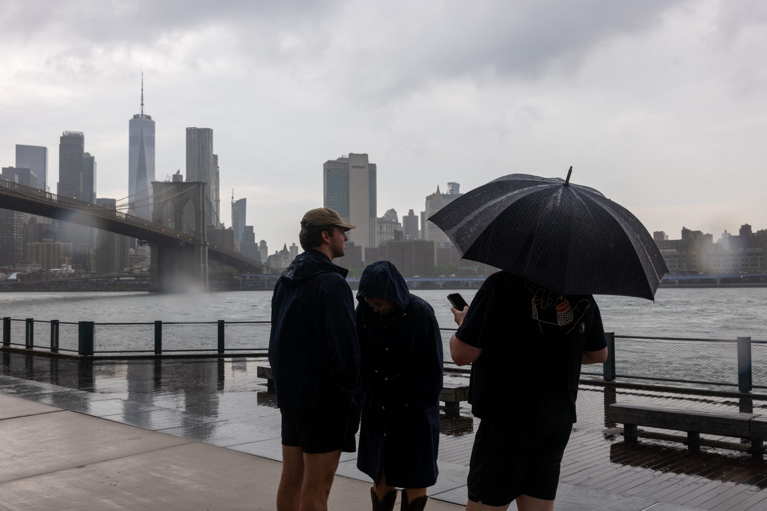


New York City was walloped with a series of thunderstorms Thursday afternoon that are forecast to continue on and off throughout the evening.
“Periods of rain, heavy downpours, and scattered thunderstorms are possible Thursday into Thursday night,” NYC Emergency Management said on X. “While widespread heavy rainfall is not currently expected, any thunderstorm could produce a quick burst of heavy rain and cause localized flooding, especially in low-lying and poor-drainage areas.”
The morning kicked off damp and humid, with storms striking much of the tri-state area around 1 p.m.
When the rainfall is at its most intense, it could come down at a rate of 2 or more inches per hour, which could lead to isolated flash flooding, the National Weather Service warned. While much of the region will likely receive less than two inches in total, some areas could see as much as 5 inches or more.
The storms could also bring gusts of wind nearing 60 mph, which could result in “damaged trees and power lines” as well as “scattered power outages,” the NWS said.
The severe weather has already snarled air traffic, with ground stops issued at LaGuardia Airport, Newark Liberty International Airport and John F. Kennedy Airport as of 1 p.m., the Federal Aviation Administration announced. By late afternoon, more than 100 flights have been canceled across the three airports, with even more flights delayed, per flight-tracking website, FlightAware.
A severe thunderstorm watch is in effect in New Jersey, New York City, parts of Long Island, Philadelphia, and Dover, Delaware, through 8 p.m. A flood watch is also in effect for the region.
